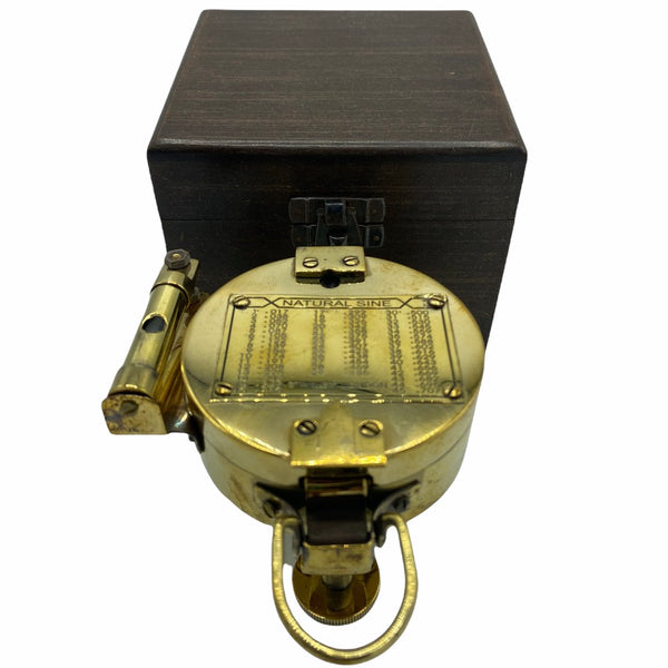
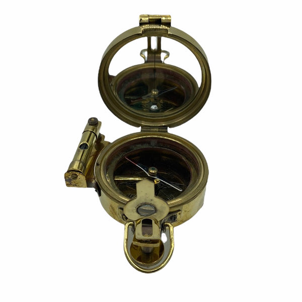
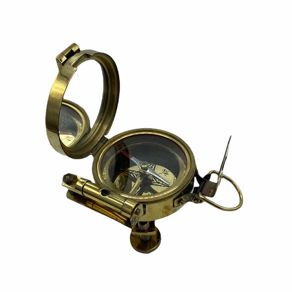
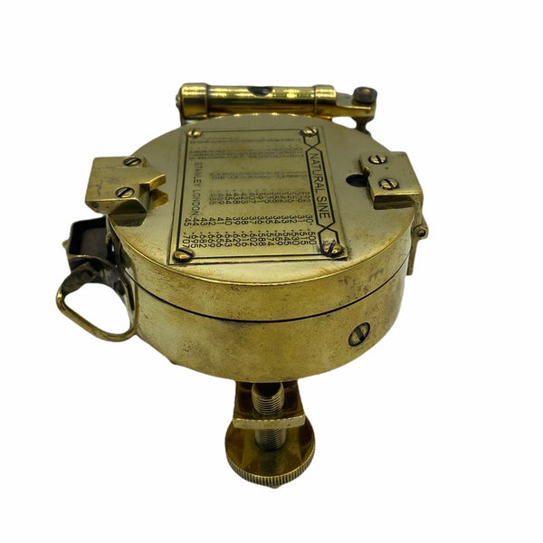
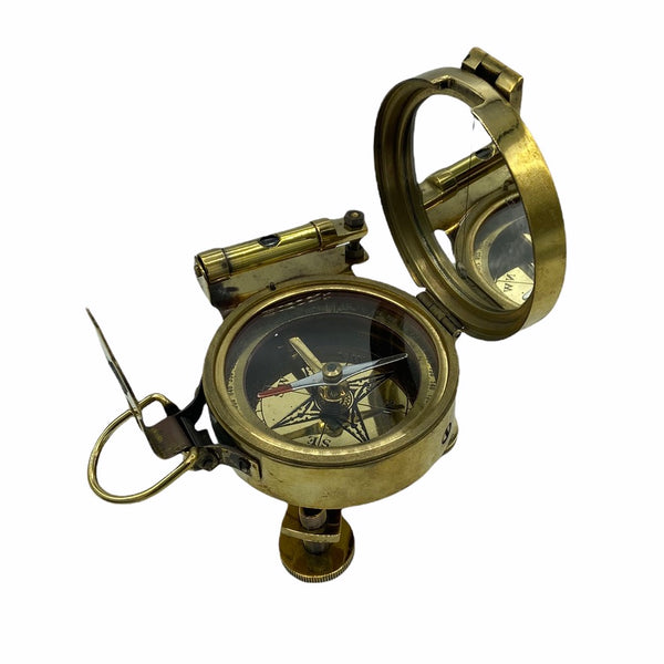
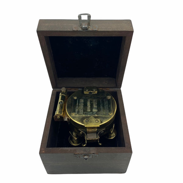
Brass 3" Stand Brunton Transit Surveying or Geology Compass in a box
Regular price
£0
Tax included.
Shipping calculated at checkout.
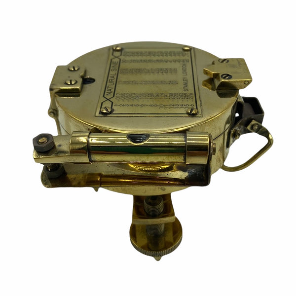
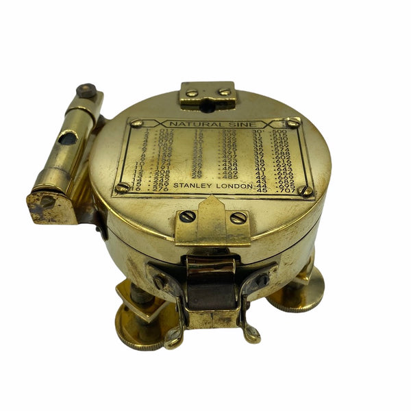
This interesting compass was originally made by Brunton, Inc , USA in around 1890's.
It could be adjusted for declination angle according to one's location on the Earth. It is used to get directional degree measurements (azimuth) through use of the Earth's magnetic field. Holding the compass at waist-height, the user looks down into the mirror and lines up the target, needle, and guide line that is on the mirror. Once all three are lined up and the compass is level, the reading for that azimuth can be made. Arguably the most frequent use for the Brunton in the field is the calculation of the strike and dip of geological features (faults, contacts, foliation, sedimentary strata, etc.). Strike is measured by leveling (with the bull's eye level) the compass along the plane being measured. Dip is taken by laying the side of the compass perpendicular to the strike measurement and rotating horizontal level until the bubble is stable and the reading has been made. If field conditions allow, additional features of the compass allow users to measure such geological attributes from a distance.
Please note this compass is not for precise readings but makes a wonderful decorative gift with an instruction sheet.
The compass weights 950 gms when packed, 7.6 cm wide & 7 cm in height.
It comes in a wooden gift box.


